Drone Mapping, 3D Imaging & Survey
Moves Media has experience capturing important aerial environments, measurements, and recreating 3D environments with the latest aerial drone mapping tools and software. Using advanced photogrammetry and automation with the latest UAV drone technology we can offer industries incredible reconstruction and preview of scenes, environments, maps, measurements, police incidents, site surveys and much more.
Fully Certified By: 


3D Aerial Mapping
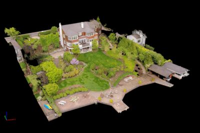
Recreating 3D aerial maps can be extremely useful. Our aerial imaging technology allows us to build 3D models of environments, locations, and areas with precision and detail. These models are completely customization and can integrate with other CAD software like Sketchup, 3D Max, Maya, AutoCAD and much more. All maps and imaging can be created to very accurate scale. We have the ability integrate satellite tools to overlay site maps and 3D imaging with satellite images for high levels of accuracy and additional context for 3D aerial maps and models.

3D Mapping and Aerial Imagery Technology
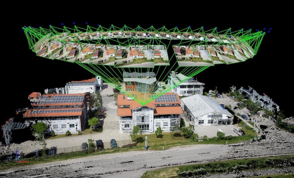
Photogrammetry is a technique which creates 3D models using many high resolution photographs as input. Our software detects and calculates hot points between an array of aerial images to render 3D scenes of actual places, environments, and areas.
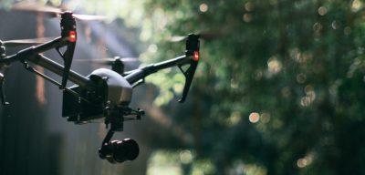
For a given project our team will use a professional aerial drones, flying a coordinated routes to collect sufficient data to process the imagery and generate 3D models, diagrams, and information specific to each site surveyed. This process can take up to a few hours to capture, depending on the environment and level of detail within the desired area. From this information we use advanced software to extract details, measurements, and recreate the environment with precision and accuracy. The rendered environments can easily be viewed in a player to showcase the result to other team members or clients. The data can also be integrated with supporting software to extract additional information from and develop plans, maps, overlays, comparisons, and much more.